Portal:Cornwall Source: en.wikipedia.org/wiki/Portal:Cornwall
  Cornwall (/ˈkɔːrnwɔːl, -wəl/ ⓘ; Cornish: Kernow [ˈkɛrnɔʊ] or [ˈkɛrnɔ]) is a ceremonial county in South West England. It is also one of the Celtic nations and the homeland of the Cornish people. The county is bordered by the Atlantic Ocean to the north and west, Devon to the east, and the English Channel to the south. The largest urban area is the Redruth and Camborne conurbation. The county is predominantly rural, with an area of 1,375 square miles (3,562 km2) and population of 568,210. After the Redruth-Camborne conurbation, the largest settlements are Falmouth, Penzance, Newquay, St Austell, and Truro. For local government purposes most of Cornwall is a unitary authority area, with the Isles of Scilly governed by a unique local authority. The Cornish nationalist movement disputes the constitutional status of Cornwall and seeks greater autonomy within the United Kingdom. Cornwall is the westernmost part of the South West Peninsula, and the southernmost county within the United Kingdom. Its coastline is characterised by steep cliffs and, to the south, several rias, including those at the mouths of the rivers Fal and Fowey. It includes the southernmost point on Great Britain, Lizard Point, and forms a large part of the Cornwall National Landscape. The national landscape also includes Bodmin Moor, an upland outcrop of the Cornubian batholith granite formation. The county contains many short rivers; the longest is the Tamar, which forms the border with Devon. (Full article...) Selected articleSt Mawes Castle (Cornish: Kastel Lannvowsedh) is an artillery fort constructed by Henry VIII near Falmouth, Cornwall, between 1540 and 1542. It formed part of the King's Device programme to protect against invasion from France and the Holy Roman Empire, and defended the Carrick Roads waterway at the mouth of the River Fal. The castle was built under the direction of Thomas Treffry to a clover leaf design, with a four-storey central tower and three protruding, round bastions that formed gun platforms. It was initially armed with 19 artillery pieces, intended for use against enemy shipping, operating in partnership with its sister castle of Pendennis on the other side of the estuary. During the English Civil War, St Mawes was held by Royalist supporters of King Charles I, but surrendered to a Parliamentary army in 1646 in the final phase of the conflict. The castle continued in use as a fort through the 18th and 19th centuries. In the early 1850s, fears of a fresh conflict with France, combined with changes in military technology, led to the redevelopment of the fortification. The out-dated Henrician castle was turned into a barracks and substantial gun batteries were constructed beneath it, equipped with the latest naval artillery. In the 1880s and 1890s an electrically operated minefield was laid across the River Fal, operated from St Mawes and Pendennis, and new, quick-firing guns were installed at St Mawes to support these defences. After 1905, however, St Mawes' guns were removed, and between 1920 and 1939 it was run by the state as a tourist attraction. Brought back into service in the Second World War, naval artillery and an anti-aircraft gun were installed at the castle to defend against the risk of German attack. With the end of the war, St Mawes again returned to use as a tourist attraction. In the 21st century, the castle is operated by English Heritage. The castle has elaborate, carved 16th-century decorations including sea monsters and gargoyles, and the historian Paul Pattison has described the site as "arguably the most perfect survivor of all Henry's forts". The castle is a scheduled monument and Grade I listed building. (Full article...) Selected biographyRichard Lemon Lander (8 February 1804 – 6 February 1834) was a British explorer of western Africa. He and his brother John were the first Europeans to follow the course of the River Niger, and discover that it led to the Atlantic. (Full article...) Did you know?
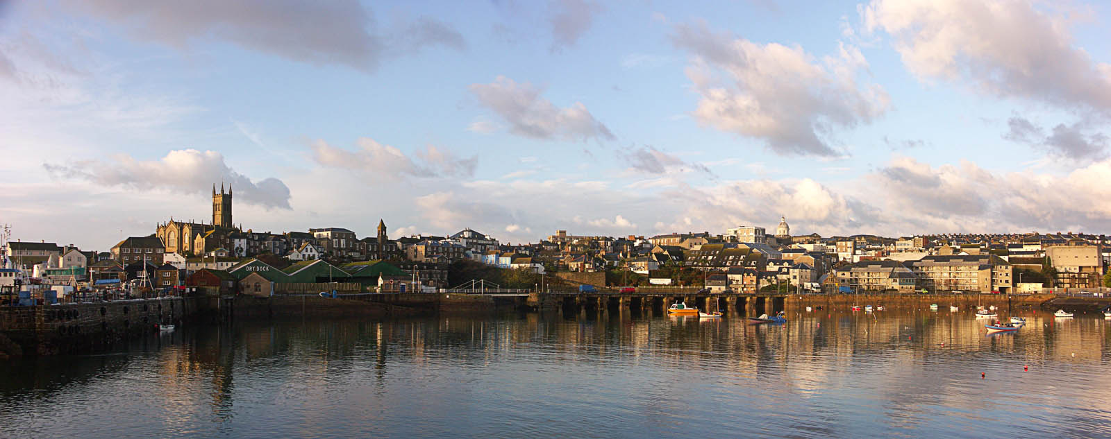
Selected quoteSelected picture
General imagesThe following are images from various Cornwall-related articles on Wikipedia.
WikiProjects
Related portalsTopicsHistory
Geography
Politics
Economy and demographics
Culture
Subcategories
 Select [►] to view subcategories
Recognised content
Featured articlesMain page featured articlesFeatured listsGood articles
Former good articlesIn the News articlesThings you can do'
Associated WikimediaThe following Wikimedia Foundation sister projects provide more on this subject:
Wikipedia in CornishDiscover Wikipedia using portals
| |||||||||||||||||||||||||||||||||


.jpg)


_(14591082390).jpg)


_-_BL_Stowe_MS_944,_f_30v.jpg)


